Geography
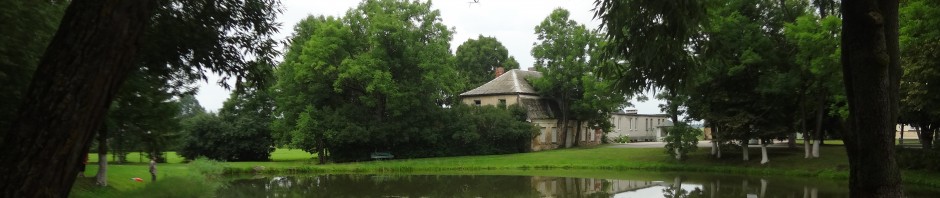
The Government of Suwalki was a narrow rectangle, barely joined to the rest of the Kingdom of Poland. (See maps in previous blog posts.) Geographically, it appeared no more than an artificial appendage. In reality the government and the numerous territories bordering it to the north, south, and east had a natural bond with the territories of the kingdom in its government and in its people—Lithuanians and Poles. Most of the people were connected to the land as Suwalki was purely an agricultural territory.
Geographically, the Government of Suwalki lay closest to the western frontier of the Kingdom of Poland, east of the Old Prussian capital of Koenigsberg, today Kaliningrad, Russia. Although its land lies in Poland and Lithuania today, its terrain is similar to that of present day north central Poland. The rest of Suwalki is a plateau which forms the spreading valley of the lower Niemen River.
The Niemen River always separated the Lithuanians from their enemies, and for several centuries the river served as a political barrier as well, but it did not provide the country with a seaport. Later, the canals on the Neiman River improved communication.
A Brief Recap of the History of Russian Poland
History
In 1772, 1792, and 1795, Russia, Prussia, and Austria divided the parts of Poland and Lithuania until they were completely partitioned. The territory of the Government of Suwalki belonged to Poland up until the third Partition in 1795, and then was incorporated with Prussia until 1807 as part of New East Prussia, “Neu Ost Preussen”. (See previous blog posts.) Many villages and estates (where records with –at surnames were recorded) were in the territory that formed New East Prussia from 1795 to 1807. It seems likely that in this twelve year period of Prussian domination that many Germans may have “colonized” this area or may have been “colonized” from Berlin, Brandenburg, West Prussia, or East Prussia. East Prussia was predominantly Lutheran, so it is also likely that some ancestors with the –at names moved or were moved from East Prussia into Suwalki Province sometime between 1795 and 1849.
After Napoleon defeated the three partitioning powers—Austria, Prussia, and Russia, he established the Duchy of Warsaw in 1807 (See maps and previous posts.) as a protectorate of the French Empire. When Napoleon was defeated, most of the Duchy came under the Imperial Russian administration in 1815 and the Kingdom of Poland was established.
The Kingdom of Poland, with Suwalki as one of ten governments, was under Russian rule from 1815 until the end of World War I in 1918 when Poland was recognized as a separate nation. Lithuania was also established as a separate country in 1918 and remained independent until it became part of the Union of Socialist Soviet Republics from 1945 until reestablishing its independence in 1989 90.

Dear Cynthia,
My brother David and I were thrilled to see your information on Johann Lingertat, who is undoubtedly our great-grandfather. Our maternal grandmother, Mathilda Lingertat Drignat, according to a 1907 family record, identified herself as the youngest daughter of Johann and Eva Lingertat and listed her place of birth as Opschruten, Wilkowischki, Wilkowischki, Suwalskai, Russland. (That’s the best I can do with the German handwriting.) She married Rev. Peter Drignat, a 1903 graduate of Concordia Theological Seminary (Springfield), in 1907. Her daughter, our mother, Hilda Drignat Marwede, married our father, Rev. William Marwede, a 1937 graduate of Concordia Seminary (St. Louis), in 1945. I would appreciate your email address so that I might share some further info that you might find helpful or interesting. Thank you so much for documenting your wonderful work and putting it out so that others may benefit from it.
Pete Marwede